Skip to content
Greenville Land Surveyor logo
Home ServicesAbout UsContact Call 864-312-7589

Greenville Land Surveyor: ALTA, Property Line & Topographic Land Surveys for Residential and Commercial Properties

Greenville Land Surveyor has spent more than 30 years performing ALTA/NSPS land title surveys, property line and boundary surveys, and topographic mapping across Greenville County and the Upstate. We also handle construction staking, subdivision and parcel mapping, easement surveys, lot line adjustments, elevation certificates and flood zone determinations, and drone and 3D laser scanning for homeowners, developers, and commercial clients throughout the region. From a quarter-acre residential lot near downtown Greenville to a large commercial or subdivision-scale tract along the I-85 or I-385 corridor, we bring the same licensed precision to every job.

Every project starts with a free quote and a written scope of work. We're licensed South Carolina Professional Surveyors under the state Board of Registration for Professional Engineers and Surveyors, and every map we deliver is signed and sealed to the South Carolina Minimum Standards Manual for the Practice of Land Surveying before it leaves our office. That license only covers half of what it takes to get a survey right here, though. Property lines in Greenville County can trace back to post-Revolutionary state land grants issued after the 1777 Treaty of DeWitt's Corner opened the area to settlement, and a property near the Reedy River needs an accurate read on flood risk before anyone builds. Any subdivision or plat work also has to clear Greenville County's own Planning Commission review before it can be recorded. We research the Greenville County Register of Deeds on every job, from a downtown commercial lot to a growing subdivision in the Upstate.

Request your free quote

Tell us about the property and what the survey is for. We review it and call you back with next steps and a written quote.

No obligation. Every quote is free and comes with a written scope before any field work.

  • Licensed South Carolina Professional Surveyor
  • 30+ years across Greenville and the Upstate
  • Boundary retracement and flood zone survey specialists
  • Drone and 3D laser scanning for complex commercial sites
  • Signed, sealed plats filed with the Greenville County Register of Deeds

Property & Boundary Surveys in Greenville, SC

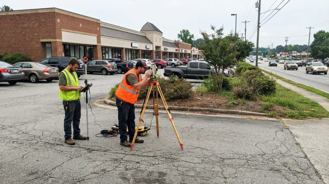
Two land surveyors in hi-vis vests measuring a shopping-center parking lot beside a busy road, one at a total station on a tripod and one holding a prism pole and data collector.

ALTA/NSPS Land Title Surveys

An ALTA/NSPS Land Title Survey follows the 2021 Minimum Standard Detail Requirements jointly published by the American Land Title Association and the National Society of Professional Surveyors. Title companies and lenders ask for one whenever a commercial property or investment property changes hands, because it documents boundaries, easements, and encroachments to a standard that supports title insurance. The client and title company select from Table A, a menu of optional items like topography, zoning setbacks, and utility locations, so the survey covers exactly what the transaction needs.

In Greenville County, ALTA surveys come up constantly on commercial building sales and financing along the I-85 and I-385 growth corridors, where industrial and commercial development tied to employers like BMW and Michelin keeps property changing hands. We build every map to satisfy the title company's specific requirements, signed, sealed, and ready for closing.
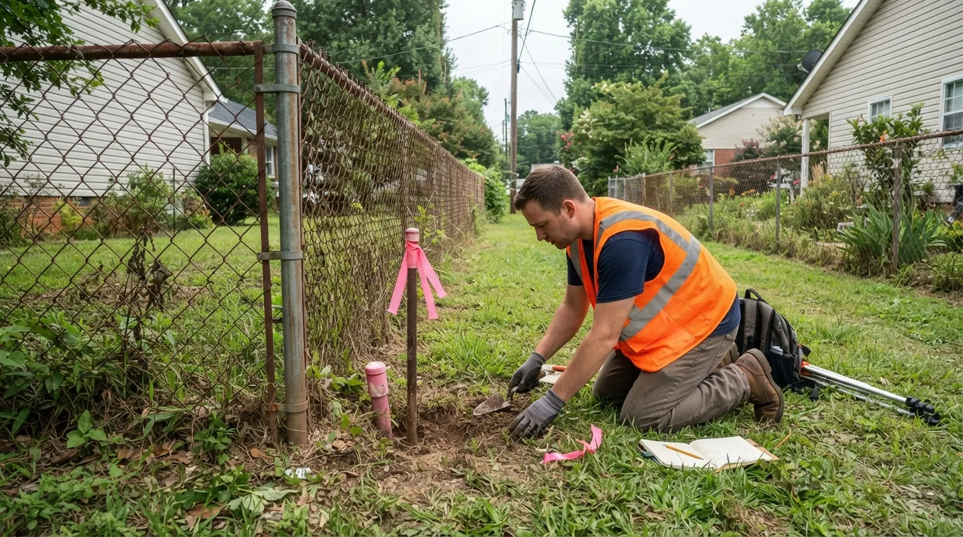
A land surveyor kneeling beside a chain-link fence between two backyards, uncovering a flagged property corner marker with a trowel, a field book in the grass beside him.

Property & Boundary Line Surveys

A boundary survey locates and marks the legal property lines of a parcel using recorded deeds, prior maps, and physical evidence in the field. We search for existing monuments first, then set new ones where corners have been lost or disturbed, and file with the Greenville County Register of Deeds when the work meets the threshold under the South Carolina Minimum Standards Manual. It's the most requested survey we do, whether the job is a quarter-acre residential lot or a large commercial or subdivision-scale tract.

Greenville County's growth changes this work in a specific way. The county has grown roughly 31% since 2010, and new subdivision construction along the Golden Strip and the Greer corridor regularly disturbs old corners and fence lines before anyone realizes a boundary survey was ever needed. We bring the same attention to the county's actual recorded maps whether the job is a downtown lot or a parcel on the edge of a growing subdivision.

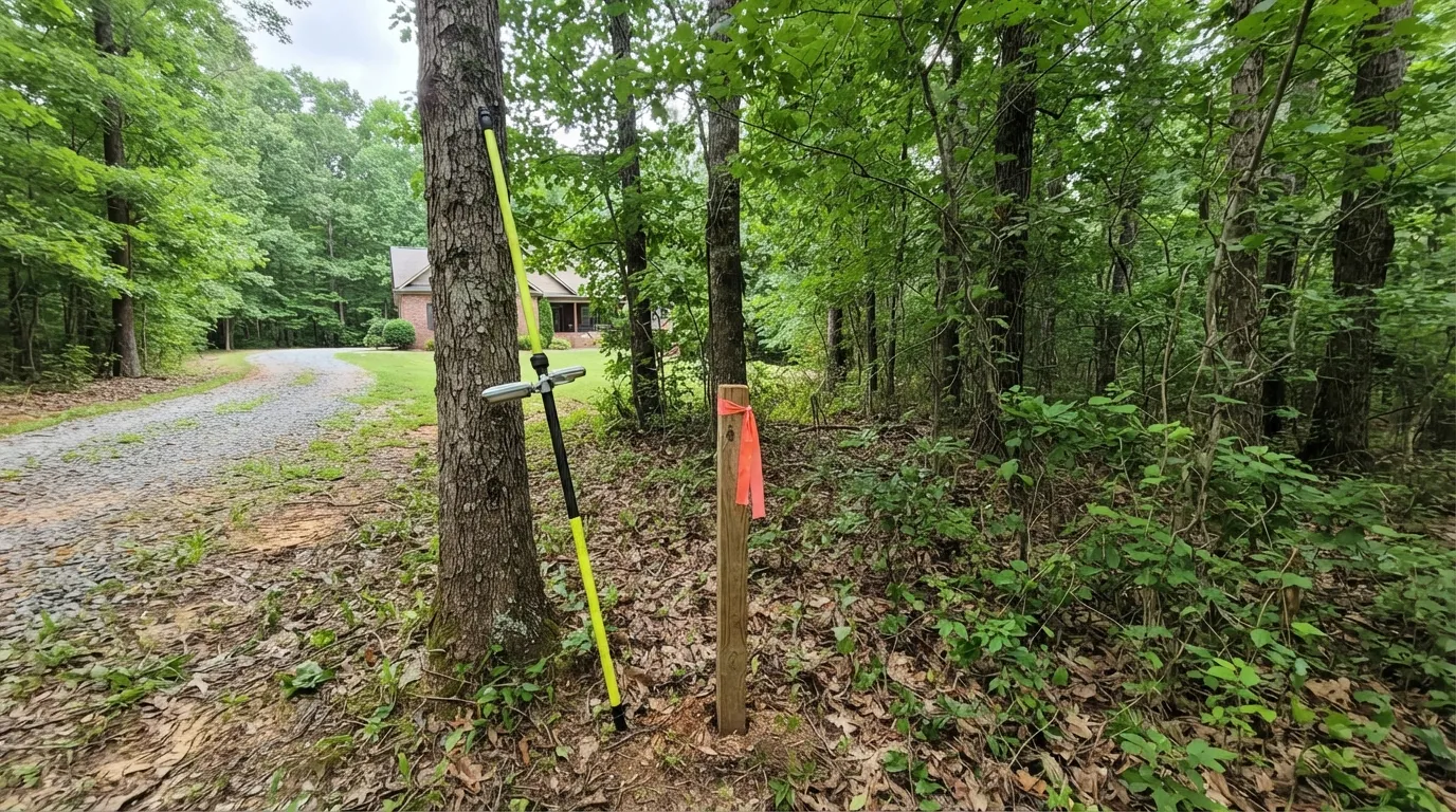
A wooden survey stake with orange flagging at the edge of a wooded residential lot, a GNSS rover pole leaning against a tree beside a gravel driveway leading to a brick house.

Lot Line Adjustments

A lot line adjustment moves the boundary between two or more existing parcels without creating a new lot. In Greenville County, this runs through the county's own Land Development Regulations and Planning Commission review rather than a statewide subdivision act, and the work includes a boundary survey of both parcels, new legal descriptions, a plat or exhibit map, and the application itself.

We prepare lot line adjustments for property owners resolving an old fence-line discrepancy, splitting off a portion of a parcel for a family member, or cleaning up a boundary ahead of a sale. Expect several weeks from field survey to recorded map, since the plat still has to clear the Planning Commission's review queue.

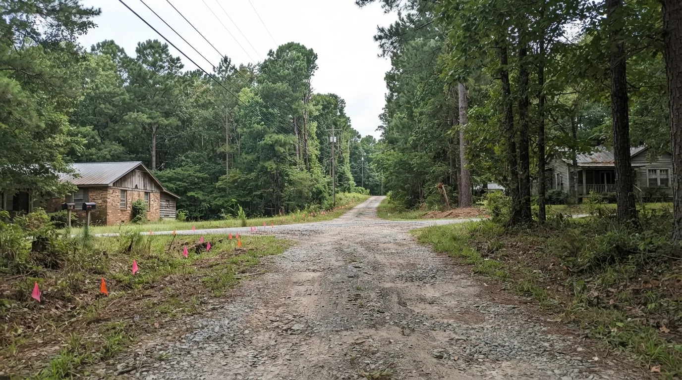
A shared gravel driveway running between two rural homes under tall pines, with pink and orange survey flags along its edge and utility lines overhead.

Easement Surveys & Legal Exhibits

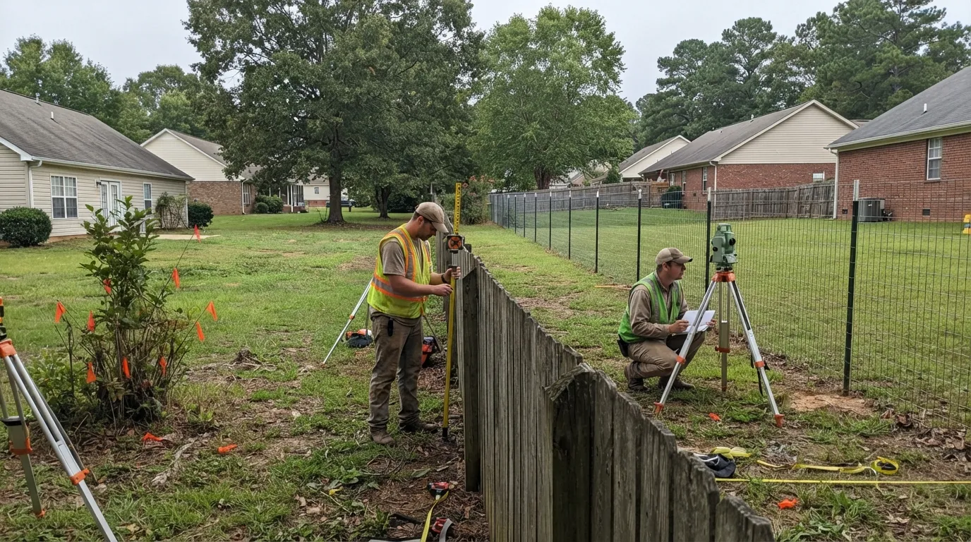
Two land surveyors checking where an old wooden fence and a newer wire fence fail to line up between neighboring backyards, one holding a prism pole and one kneeling by a total station with a plan.

Boundary Dispute Resolution & Expert Witness Land Surveying

When a boundary dispute ends up in front of a judge or a mediator, we retrace the original survey, research the chain of title, and prepare exhibits that hold up under cross-examination. Some of these cases turn on a single monument found or missing decades after the original survey.

We take on encroachment cases, fence-line disputes, and title disagreements for both residential neighbors and commercial property owners across Greenville County, and we testify when a case actually goes to court.

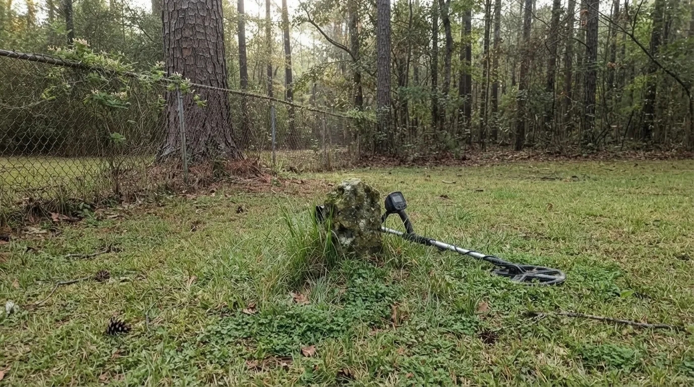
An old moss-covered stone boundary marker in the grass beside a chain-link fence at the edge of a pine woods, with a metal detector lying next to it.

State Land Grant Boundary Retracement

Some of the oldest property lines in Greenville County trace back to the earliest years of the county itself. Greenville County was formed in 1786 from land the Cherokee ceded to the state under the 1777 Treaty of DeWitt's Corner, and the state distributed much of that land through post-Revolutionary state land grants in the 1780s and 1790s, including tracts awarded as Revolutionary War bounty land to veterans. Retracing one of these boundaries means working through the original grant, the state's surviving plat records, and every recorded map since.

A modern deed description that doesn't match what's actually on the ground often traces back to exactly this kind of history. Many of these original grants were surveyed using metes-and-bounds descriptions tied to natural markers instead of fixed monuments, a large pine, a creek bend, a pile of stones, and two and a half centuries of farming, development, and erosion have moved or erased more than a few of them. Untangling a boundary like this takes real archival work: pulling the original state plat, following every recorded map since, and reconciling the old calls against what a modern survey actually finds on the ground, the kind of research most property owners can't do on their own.

Design & Construction Surveys for Greenville, SC Properties

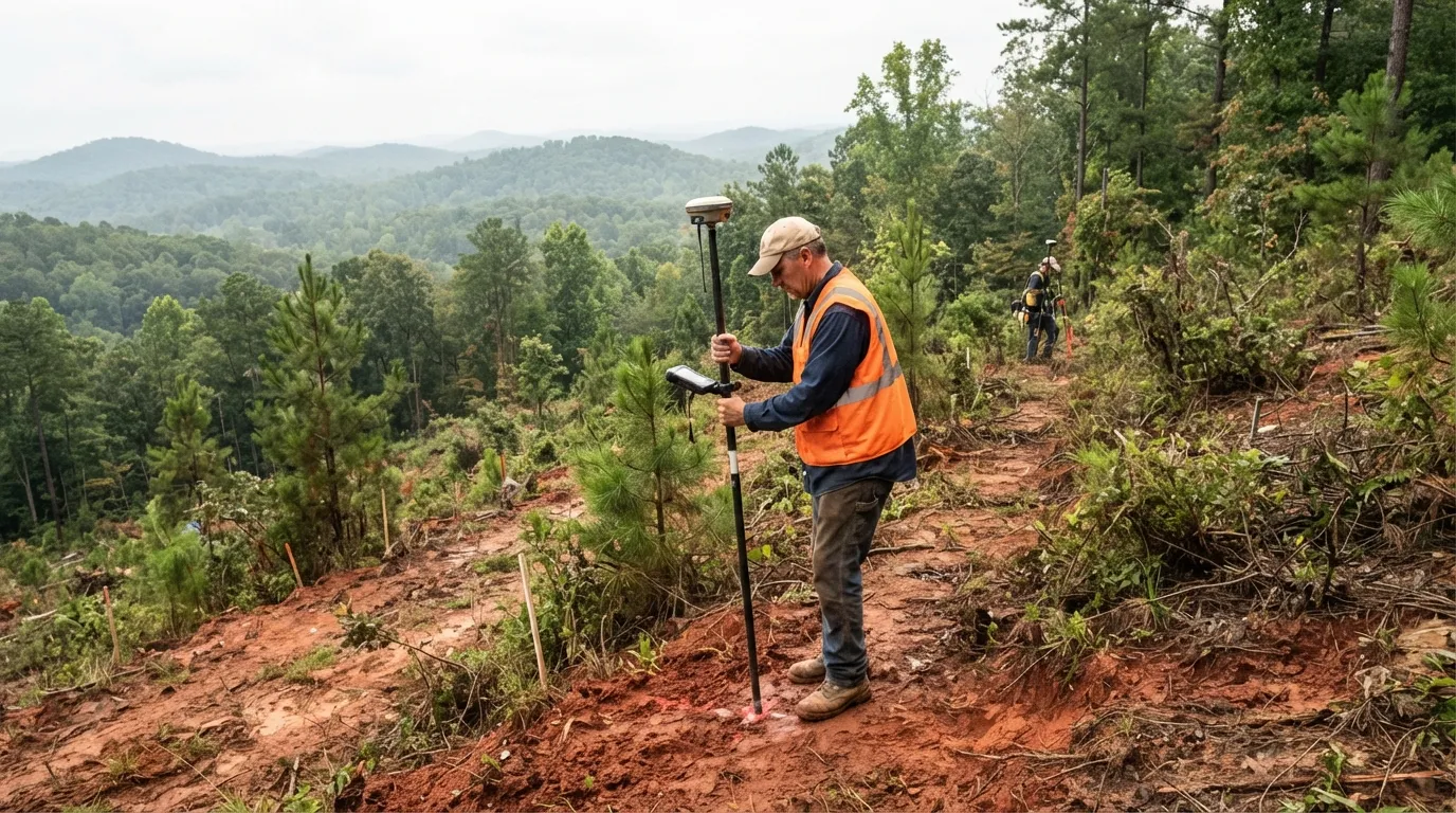
A land surveyor holding a GNSS rover pole and data collector on a partly cleared red-clay hillside, a second surveyor further up the slope and wooded Upstate ridges behind.

Topographic Surveys & Site Mapping

A topographic survey maps the existing ground elevations, contours, and physical features of a site, giving an architect or engineer the base information needed to design anything from a home addition to a commercial building. We collect this data with GPS receivers, robotic total stations, and drone-based photogrammetry, depending on the size and terrain of the site.

Greenville County's Piedmont and foothill terrain means real elevation change even on a single residential lot in parts of the county, and drone mapping captures that terrain accurately on a larger commercial or subdivision-scale site in a fraction of the time a ground crew would need.

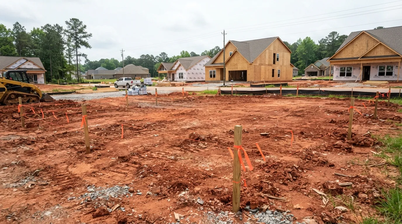
Wooden stakes with orange flagging and string lines marking out a graded red-clay house pad in a new subdivision, with framed houses and a skid steer in the background.

Construction Staking & Site Layout

Construction staking puts the design on the ground, marking building corners, foundation lines, pad and finish-floor elevations, grading limits, and utility trenches so the contractor knows exactly where to build. Most projects need staking at several points as the work progresses, from initial layout through utility rough-in to final grading.

We stake residential additions, new homes in Greenville's growing subdivisions, and commercial pads tied to the Upstate's ongoing industrial and commercial expansion along the I-85 and I-385 corridors, catching a misaligned foundation before it becomes an expensive fix.

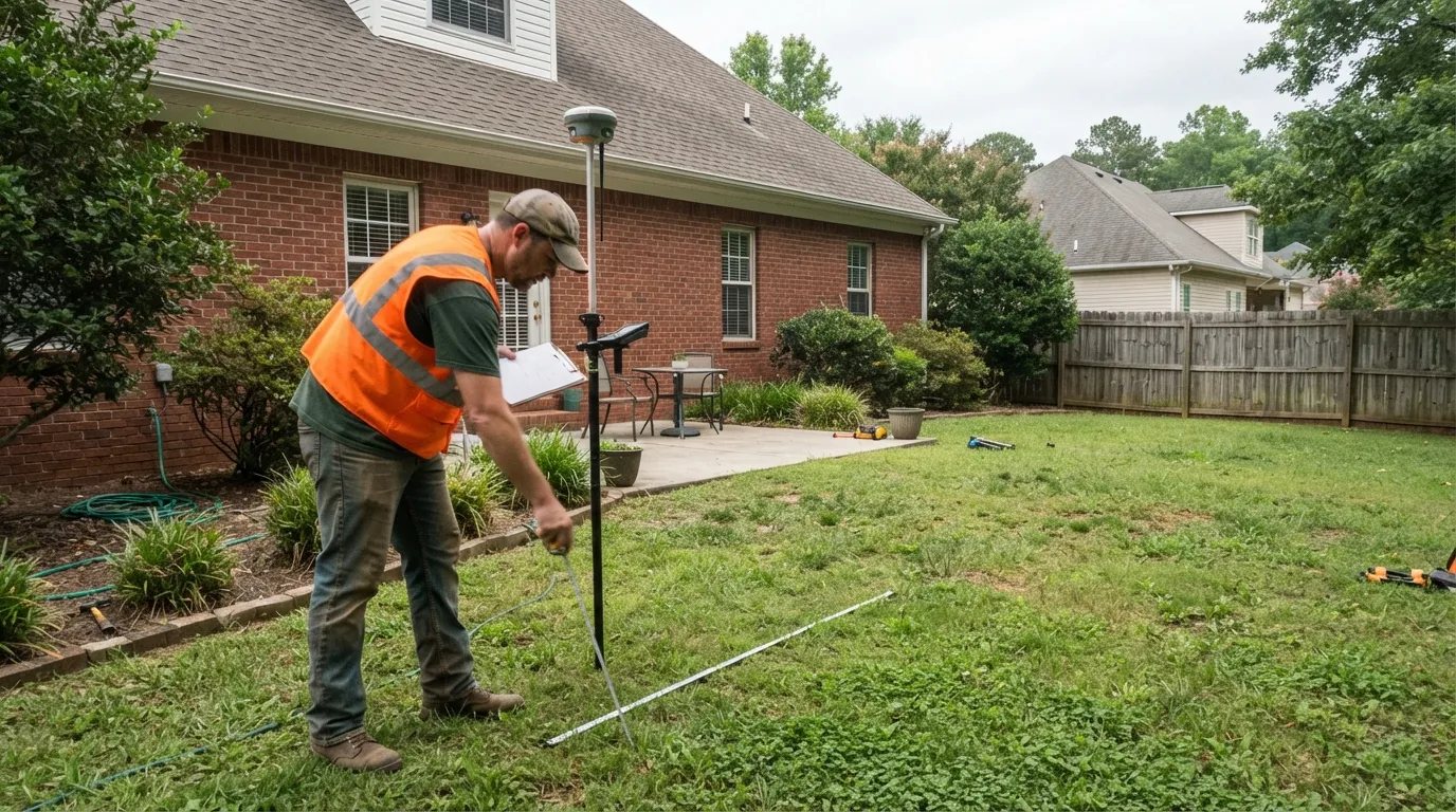
A land surveyor measuring the backyard of a brick house with a tape measure, holding a GNSS rover pole and a clipboard, a patio and wooden privacy fence behind.

Site Plan & Plot Plan Surveys

A site plan or plot plan survey is a measured base map of a parcel and its existing improvements, prepared for a building permit submittal. It shows the parcel's boundaries, existing structures, setback lines, and the location of the proposed work, and it's the drawing Greenville County's or the City of Greenville's own planning department needs before it will approve an addition, a pool, or a new accessory structure.

We prepare these for homeowners adding a room addition or a pool, and for commercial property owners permitting a new structure, working directly against the county's or city's own permit requirements.

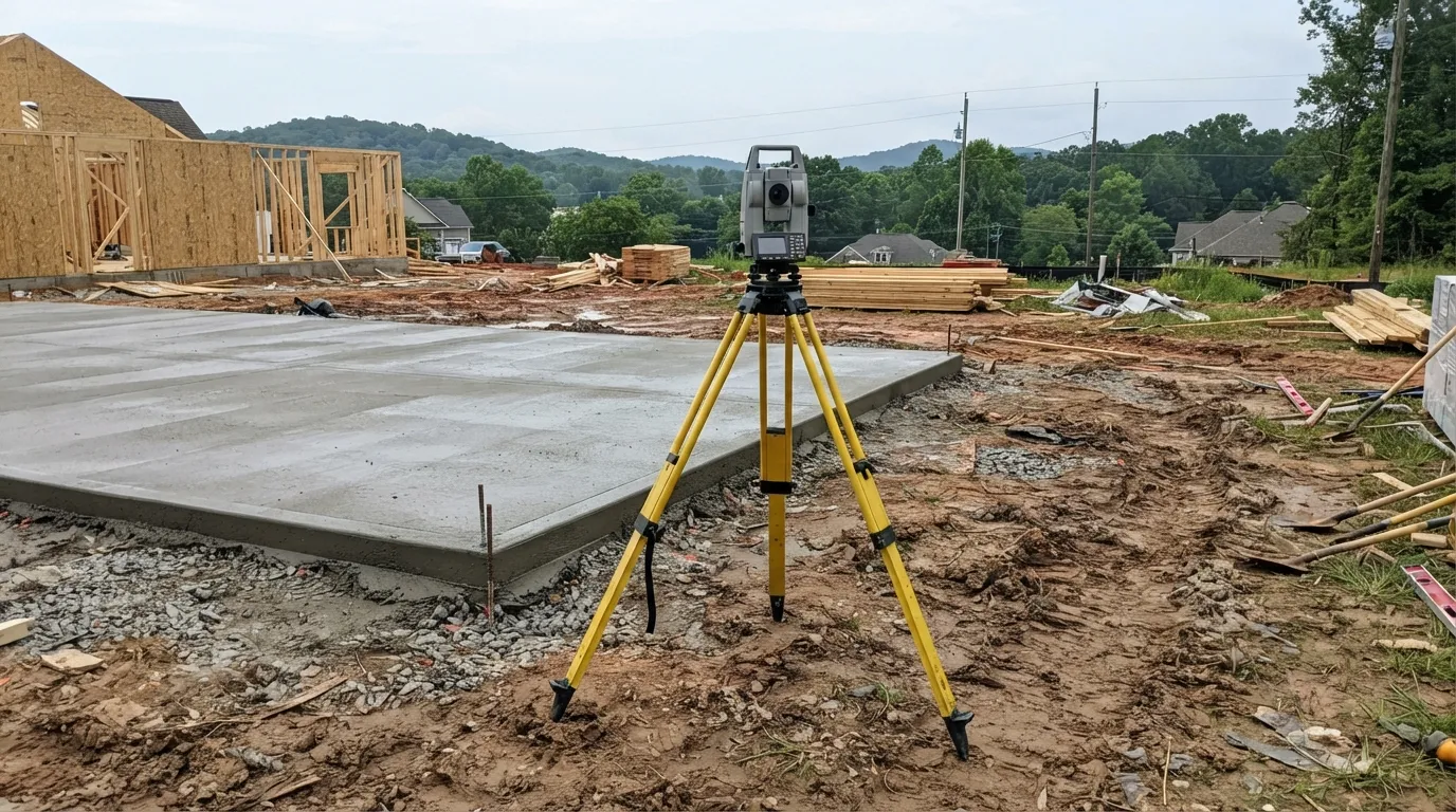
A total station on a yellow tripod beside a freshly poured concrete foundation slab on a residential construction site, framed houses and wooded hills behind.

As-Built Surveys

An as-built survey measures what was actually constructed, foundation location, utility runs, finish grades, and site improvements, and compares those measurements against the approved plans to confirm everything landed where it was supposed to.

Contractors and property owners order these at the end of a project, often as part of closing out a permit or certificate of occupancy, and we've done them on everything from a single-family remodel to commercial build-outs tied to the Upstate's growing industrial base.

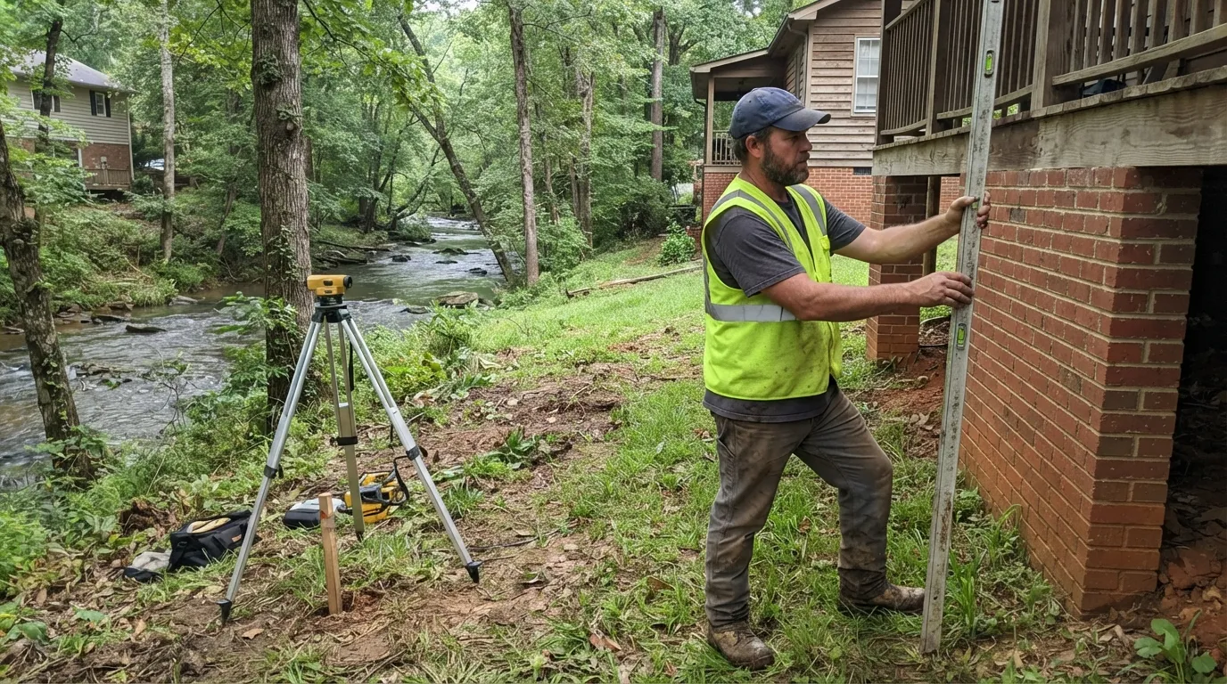
A land surveyor holding a leveling rod against the brick foundation of a raised house beside a wooded creek, with a digital level set up on a tripod nearby.

Elevation Certificates & Flood Zone Determination

An Elevation Certificate is FEMA Form 086-0-33, and it documents a structure's elevation relative to the base flood elevation so an insurer can rate a flood policy correctly. We also help property owners pursue a Letter of Map Amendment when a structure sits above the mapped flood hazard but the FEMA map hasn't caught up.

This work carries real weight here. The Reedy River has flooded downtown Greenville repeatedly, including a major flood in 1908, the "Big Flood" of 1949, flooding again in 1965, and a pluvial flood over Falls Park in 2015. Most recently, during Hurricane Helene on September 27, 2024, the river rose from its normal 0.67 feet to a crest of 13.34 feet, submerging Cleveland Park and Unity Park for hours. If your property sits anywhere near the Reedy River or one of its tributaries, an accurate Elevation Certificate is worth having on file.

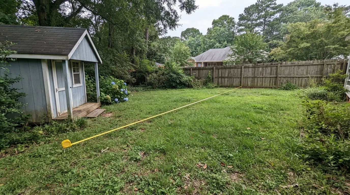
A tape measure stretched across a back lawn from a small blue backyard shed toward a wooden privacy fence, with neighbouring houses and trees behind.

ADU & Unpermitted Structure Surveys

An ADU site plan survey supports a permit application for a new accessory dwelling unit, showing setbacks, existing structures, and utility connections on the parcel. We also handle the related job of locating and documenting a structure that was built without a permit, which is often the first step toward legalizing it.

Both come up in Greenville, and we handle them the same way: an accurate site plan survey first, whether the goal is a new ADU permit or bringing an existing unpermitted structure into compliance.

Land Development & Mapping Surveys in Greenville County

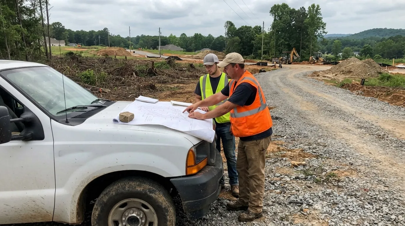
Two land surveyors leaning over a large subdivision plat spread on the hood of a white pickup truck, with a graded road, cleared lots and excavators behind them.

Subdivision, Tract & Parcel Maps

Dividing land in South Carolina runs through local subdivision review rather than a single statewide act. A parcel map covers a smaller division, a tract map covers a larger one, and both require a boundary and topographic survey, agency review, and a final recorded map before the new lots legally exist.

Greenville County's Land Development Regulations set the process, and the county's Planning Commission has 60 days to act on an accepted plat before it counts as automatically approved. That process is busy right now. Greenville County has grown roughly 31% since 2010, and the metro area topped 1 million residents in 2026, with new subdivisions concentrated around the Golden Strip cities of Mauldin, Simpsonville, and Fountain Inn and along the Greer corridor near I-85.

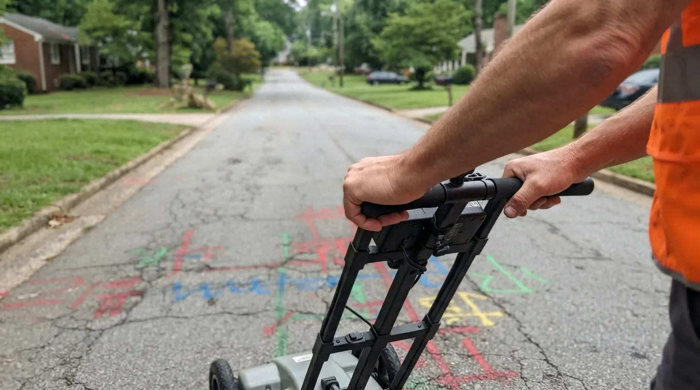
A surveyor pushing a ground-penetrating radar cart along a residential street marked with coloured utility locate paint.

Utility & Underground Surveys (SUE)

Before a design ever gets built, someone has to figure out what's already buried at the site. We research utility records, survey the surface evidence, and locate underground utilities to the quality level a project calls for, sometimes going as far as exposing a line to confirm its exact depth and position.

This groundwork matters ahead of any subdivision, road widening, or commercial construction project in Greenville County, where decades of infrastructure sit underground alongside the new utility work tied to the area's continued growth.

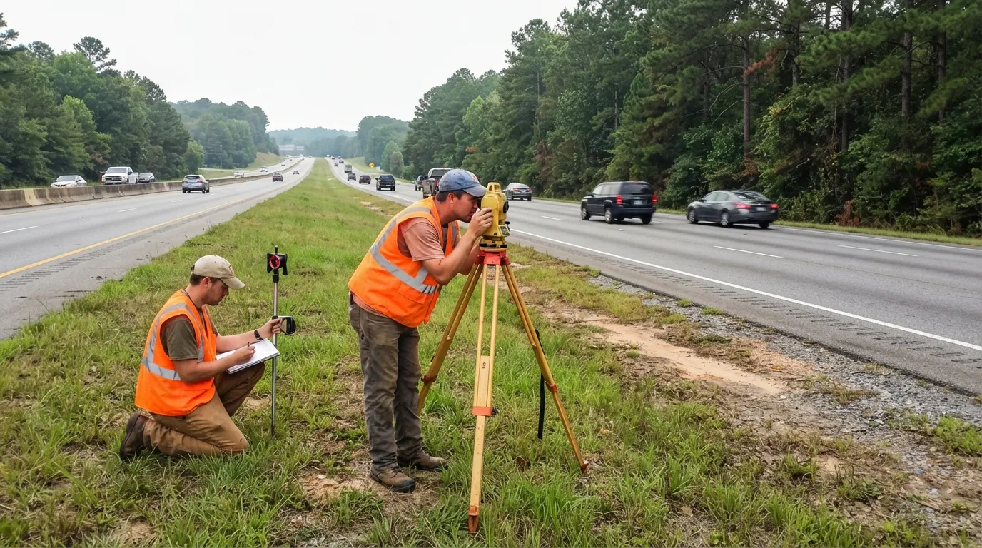
Two land surveyors on the grassy median of a divided highway, one at a total station on a tripod and one kneeling with field notes, traffic passing on both carriageways.

Route, Corridor & Right-of-Way Surveys

Route and corridor surveys cover the centerline, stationing, and existing features along a linear project, whether that's a road, a pipeline, or a utility corridor, and they define the public and private rights-of-way the project needs to move forward.

We've done this work along Greenville's I-85 and I-385 corridors, where road, utility, and transmission-line projects keep pace with the industrial and commercial growth driven by BMW, Michelin, and the manufacturers and suppliers that have followed them into the Upstate.

Specialty Land Survey Services for Greenville and the Upstate

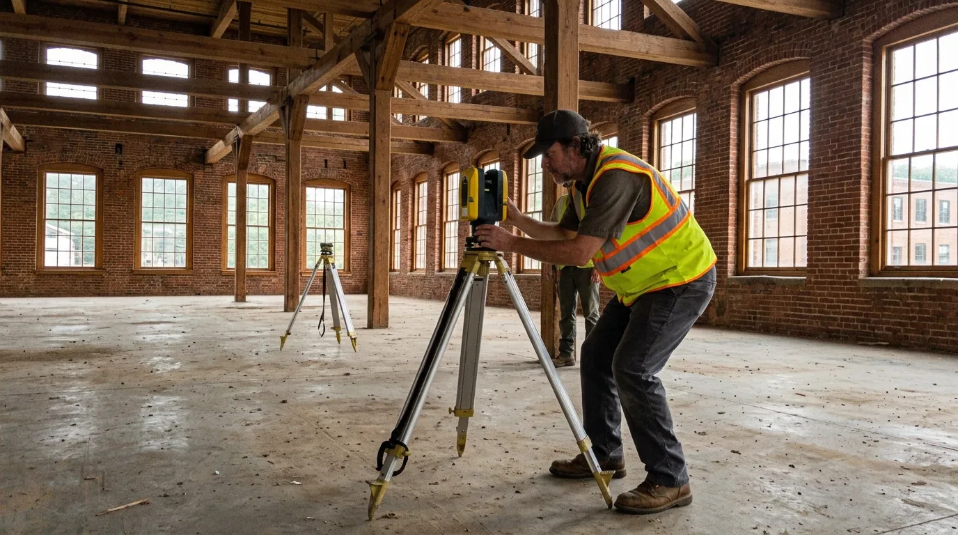
A surveyor setting up a tripod-mounted 3D laser scanner inside an empty brick mill building with heavy timber posts and tall arched windows.

3D Laser Scanning & Scan-to-BIM

High-definition laser scanning captures a dense point cloud of a site or structure, often millions of points at sub-inch accuracy, which we register and convert into a scan-to-BIM model for renovation planning, clash detection, or an as-built record of a complex existing building.

We've used it on commercial renovation and tenant improvement projects tied to the Upstate's manufacturing and logistics base, where an accurate existing-conditions model saves real money before design even starts.

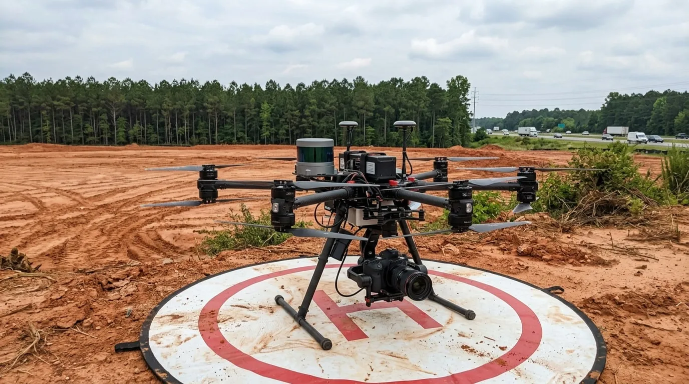
A large mapping drone carrying a lidar unit and camera, sitting on a landing pad at the edge of a cleared red-clay site with a pine treeline and a highway behind.

Drone & Aerial Mapping

We fly FAA Part 107-licensed drones equipped for photogrammetry and LiDAR mapping, capturing imagery at a ground resolution tight enough to support engineering-grade topographic mapping, and producing orthophotos and surface models of a site far faster than a ground crew could cover on foot.

That speed matters most on the larger commercial and subdivision-scale sites we cover across Greenville County, where hilly Upstate terrain and large acreage would take a walking crew days to survey properly.

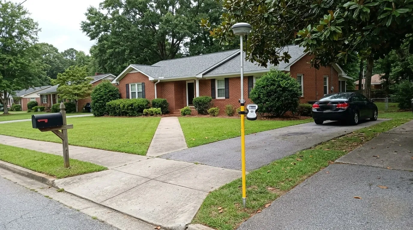
A GNSS rover pole set up on the front lawn of a brick ranch house on a quiet residential street, beside the driveway and mailbox.

Mortgage & Closing Surveys

South Carolina is one of the states where a real estate closing is legally the practice of law. A licensed South Carolina attorney has to supervise every closing, cash or financed, and a current survey or plat is frequently part of that closing file.

We provide a quicker-turnaround survey product built around a closing timeline rather than a construction or permitting timeline, so the file is ready when the attorney needs it.

Ready to talk about your project?

Schedule Your Survey

Why We're the Best Land Surveyor in Greenville, SC

  • Decades of Greenville and Upstate Boundary Experience

    More than 30 years of work in this county means hundreds of boundary, ALTA, and construction-staking surveys behind us, from downtown Greenville lots to commercial tracts along the growth corridors. We know how the Greenville County Register of Deeds checks a plat, what the county's Planning Commission expects, and how to retrace a boundary whose record starts with a post-Revolutionary state land grant. That experience is what keeps a project from stalling over a technicality.

  • Licensed, Sealed, and Filed to Standard

    Every survey is performed by or under a South Carolina Professional Surveyor licensed through the state Board of Registration for Professional Engineers and Surveyors under S.C. Code Title 40, Chapter 22. Every map and legal description is signed and sealed to the South Carolina Minimum Standards Manual for the Practice of Land Surveying. Plats are filed with the Greenville County Register of Deeds. Our title surveys meet the 2021 ALTA/NSPS Minimum Standard Detail Requirements, and our elevation certificates meet FEMA's requirements. We hold a South Carolina Society of Professional Land Surveyors membership, and we carry professional liability and general liability insurance.

  • Survey-Grade Technology, Field-Checked Work

    We run survey-grade GNSS and GPS receivers, robotic total stations, and digital levels, backed by FAA Part 107-licensed drone mapping and 3D laser scanning for complex commercial sites. Our data is tied to the NAD83(2011) South Carolina State Plane Coordinate System, the state's single statewide zone, so there's no zone-juggling between different parts of a project. Monuments we set are durable and built to hold up against the grading and land-disturbing construction common across the Upstate's growth corridors. Every field measurement is checked against the record before it goes on a map.

  • Direct Access and a Fixed Fee

    You get a free, no-obligation quote with a written scope and a flat fee wherever the work supports one. You talk to the licensed surveyor who is doing your survey, not a scheduler and not a rotating crew. We build turnaround around your closing date, since South Carolina requires an attorney to supervise every real estate closing, as well as around permit deadlines, and we offer rush service when the calendar is tight. You receive digital PDF and CAD files, and we handle the county recording from field work through the Register of Deeds.

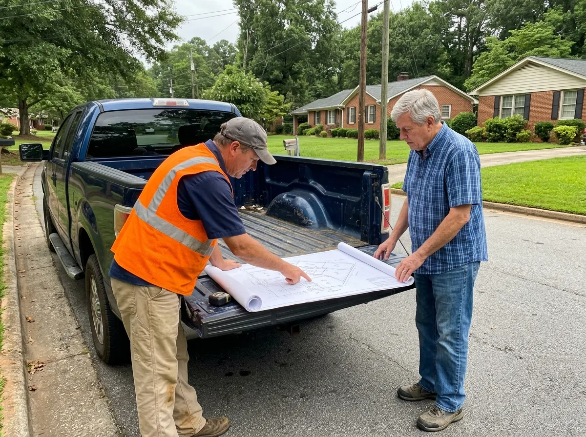
A land surveyor and a homeowner standing at the open tailgate of a pickup truck on a residential street, looking over a large survey plat spread across the tailgate.

Five reasons Greenville County property owners call us first:

  • A licensed South Carolina Professional Surveyor signs and seals every deliverable
  • More than 30 years of ALTA, boundary, and construction-staking survey work across the county
  • Free quotes and a written, fixed fee before any field work
  • Direct line to the surveyor doing the work
  • Recorded plats and county filings handled start to finish

The Greenville Land Surveyor Process

  1. 1. Consultation & Scope

    We start with a conversation about the parcel, what the survey is for, your deadline, and how to get onto the property. Whether you're closing on a residential lot, splitting off part of a parcel, pulling a permit, or settling a boundary disagreement changes which survey and which deliverable you actually need, and we sort that out before quoting a price.

  2. 2. Records & Title Research

    We pull the deed, prior recorded maps, and existing survey records from the Greenville County Register of Deeds, and, where the parcel calls for it, check for state-land-grant-era history or a prior Planning Commission action on the property. This research happens before the field crew is scheduled, because it tells them what to look for.

  3. 3. Written Proposal & Fixed Fee

    You get a written scope of work and a flat fee built from the research, not a number over the phone. The proposal spells out what we'll deliver, what gets filed, and what the schedule looks like, so there are no surprises once the work starts.

  4. 4. Field Survey

    The crew recovers existing monuments, occupies control with GNSS and total station, and measures the boundary evidence, improvements, topography, and utilities the scope calls for. On large commercial or subdivision-scale acreage, we add drone mapping to capture what a walking crew would take days to cover.

  5. 5. Boundary Analysis & Computations

    Back in the office, we resolve the boundary by weighing the record calls against the physical evidence we found, prior surveys, and, on older parcels, the state-land-grant-era history behind the legal description. Then we compute the final corner positions and the parcel area.

  6. 6. Map & Exhibit Preparation

    We draft the survey map, exhibit, or plat, along with any legal descriptions, to CAD and Greenville County standards. The licensed surveyor reviews the drawing, then signs and seals it.

  7. 7. Filing & Delivery

    Where the work requires it, we file the plat with the Greenville County Register of Deeds, completing Planning Commission review first for any subdivision action, and we set the monuments in the field. You receive the signed PDF and the CAD files.

How Long Does a Land Survey Take in Greenville, SC?

A straightforward residential boundary survey is usually scheduled within one to two weeks, with field work done in a day or two and the map delivered shortly after. A lot line adjustment or a subdivision map runs longer, often several weeks to a few months, because the plat has to clear Greenville County's Planning Commission review before it can be recorded.

A few things stretch a timeline. Hilly terrain in the Upstate's foothill areas slows the field crew down. Missing or destroyed monuments mean more time recovering evidence and more research. A deeply conflicted record, common on older state-land-grant-era parcels, takes longer to resolve. County plat review has its own queue, and that queue is outside our control. When your closing or permit date is firm, tell us early and we'll schedule rush field work and prioritize the drafting.

The one fixed deadline on the county side is set by ordinance rather than statute. Greenville County's Planning Commission has 60 days to act on an accepted plat before it counts as automatically approved, and we build that into the schedule from the start. South Carolina doesn't set a separate statewide filing deadline for a boundary survey itself the way some states do.

How Much Does a Land Survey Cost in Greenville, SC?

Every quote starts with a site-specific conversation, because the same type of survey can cost very differently depending on the property. Parcel size is the biggest factor: a standard quarter-acre residential lot takes far less field time than a large commercial or subdivision-scale tract, and our fee scales with the acreage and the number of corners that actually need to be found or set.

Terrain and access matter almost as much. A tight residential lot near downtown Greenville is usually the fastest kind of job, but a parcel out toward the Upstate's foothill areas takes longer to walk and measure. How complete the existing record is plays a role too. A property with a clean, recent survey on file goes faster than one where the last recorded map is decades old or corners were disturbed by new construction nearby.

A couple of cost drivers are specific to this market. A subdivision or lot line adjustment costs more as it moves through Greenville County's Planning Commission review, since each affected parcel needs its own updated legal description and a pass through plat review. A tight closing deadline, driven by South Carolina's attorney-supervised closing requirement, carries a premium for expedited scheduling.

How Much Does a Land Survey Cost in Greenville, SC?
Survey TypeTypical RangeWhat Drives the Price
Boundary / Property Line Survey$1,500 - $6,000Parcel size, how many corners must be found or reset, and how complete the existing record is
Topographic Survey$2,000 - $8,000Acreage, terrain and vegetation density, and how much contour and feature detail the design team needs
ALTA/NSPS Land Title Survey$3,500 - $15,000+Parcel size and complexity, the number of Table A items the title company requests, and how many easements or encroachments need researching
Lot Line Adjustment Survey$3,000 - $8,000Number of parcels involved, complexity of the new legal descriptions, and Planning Commission review requirements
Elevation Certificate$500 - $1,500Building complexity (crawlspace, multiple entries, additions) and whether a follow-up LOMA is needed
Construction Staking$1,000 - $5,000+Project size and how many separate staking visits the build requires, from layout through final grading
ADU Site Plan Survey$1,000 - $3,000Number of existing structures on the parcel and whether an unpermitted structure needs documenting too

In Greenville County, the factor that most often pushes a quote above a typical statewide range is the same one: acreage on a large commercial or subdivision-scale parcel, along with the extra time a Planning Commission review adds to a subdivision or lot line adjustment project.

Proudly Serving Greenville County and the Upstate

We serve all of Greenville County, including Greenville, Greer, Simpsonville, Mauldin, Fountain Inn, and Travelers Rest. Our license is good statewide, so a project outside this footprint is a conversation, not a dead end.

Aerial view of Falls Park on the Reedy in downtown Greenville, South Carolina, with the Liberty Bridge crossing the river above the falls and the city skyline behind.

What Our Greenville Customers Are Saying

Robert M.

3 weeks ago on

"Greenville Land Surveyor turned our closing survey around fast when our attorney needed it for the file, done in under a week."

Sanjay P.

2 months ago on

"They walked our subdivision plat through the whole Planning Commission process and dealt with the county so we didn't have to."

Jessica A.

5 months ago on

"Our architect needed a topographic survey before she could design the addition, and the crew captured every bit of the slope on our lot with no back and forth."

David N.

10 months ago on

"Greenville Land Surveyor found a state land grant issue on our old parcel that two other surveyors had missed, then explained it in plain English."

Greenville Land Surveyor FAQs

How much does a land survey cost in Greenville, South Carolina?

It depends on the survey and the parcel, but here's the range for the common ones:

  • Boundary or property line survey: $1,500 to $6,000
  • Topographic survey: $2,000 to $8,000, depending on acreage and terrain
  • ALTA/NSPS land title survey: $3,500 to $15,000 and up, driven by parcel size and Table A items
  • Lot line adjustment: $3,000 to $8,000, including legal descriptions and Planning Commission review
  • Elevation certificate: $500 to $1,500
  • Construction staking: $1,000 to $5,000 and up, scaling with project size
  • ADU site plan survey: $1,000 to $3,000

Every quote we provide is free and written, so you'll know the exact scope and price before we schedule anything.

What's the cheapest type of land survey?

An Elevation Certificate is usually the least expensive option we offer, typically $500 to $1,500, since it's a single-visit measurement against a fixed form.

What's the difference between a surveyor and a licensed land surveyor?

"Surveyor" gets used loosely, but a licensed land surveyor in South Carolina holds a Professional Surveyor license issued by the state Board of Registration for Professional Engineers and Surveyors and is legally authorized to establish and certify property boundaries. Anyone can measure a piece of land, but only a licensed surveyor can sign, seal, and file a survey that holds up legally.

How do I get a survey started?

Start with a call or a quote request. We research the existing record first, deeds, prior maps, and any survey records on file with the Greenville County Register of Deeds, then send a written scope and a flat fee before scheduling a field crew. Most residential jobs move from that first call to a finished map within one to two weeks.

Do you handle large commercial or subdivision-scale surveys?

Yes. We regularly survey parcels running into the hundreds of acres, and we use drone mapping to cover that ground far faster than a crew working on foot.

Can you do construction staking for a large subdivision or commercial project?

Yes, and we stay on the project through multiple staking visits as it progresses, from initial layout through utility rough-in and final grading.

Can you locate underground utilities on my property?

Yes, we research utility records and survey the surface evidence, and we can locate and mark underground lines to the quality level your project needs.

Do you offer aerial or drone surveying?

Yes. Our FAA Part 107-licensed drone service covers large-acreage topographic mapping and photogrammetry for commercial and subdivision-scale sites.

Is the initial consultation really free?

Yes. We provide a free, no-obligation quote with a written scope before any work begins.

How long does a typical land survey take from start to finish?

A standard boundary survey usually takes one to two weeks from the field visit to a finished deliverable. Lot line adjustments, subdivision maps, and anything requiring Planning Commission review take longer, often several weeks to a few months.

What do survey markers and stakes actually mean?

A survey marker, often called a monument, is a physical object such as an iron pin, rebar and cap, or concrete monument that marks a property corner or a reference point on the ground. A stake is typically a temporary wood or metal marker set during construction staking to show a contractor where to build. Both are set by a licensed surveyor and shouldn't be moved or removed without one, since disturbing a monument can create a real boundary dispute later.

Do I need a survey to build a fence?

In most cases, yes, or at least a clear understanding of where your actual property line sits. Building a fence on or near an unclear boundary is one of the most common ways a boundary dispute starts, and a boundary survey before construction is far less expensive than resolving a dispute after the fence is already in the ground.

Get Your Greenville Land Survey Started

Whether you need an ALTA survey to close a deal, a boundary or property line survey, a topographic survey for a design team, construction staking, a lot line adjustment, an elevation certificate, or specialty work like drone mapping or a mortgage and closing survey, it starts the same way, with records research and a written fixed fee before anyone drives a stake. Call or request a quote, and you'll be talking to the licensed surveyor who does the work.

864-312-7589